Measured Building Surveys
Our measured building surveys will give you an accurate representation of your building, providing you with vital data to support your development plans. We use the latest technology and work quickly and efficiently to save you time and money.
Full UK coverage
Big or small projects welcome
Highly experienced and friendly team
Fully insured
Get Your Free Quote
Everything you need to know about Measured Building Surveys
When working with existing infrastructure, retrieving an accurate representation of all features within the property is a pivotal consideration that will only benefit the planning process. Not only will detailed information on plans, elevations and sections support the developer, but also other stakeholders including architects, construction companies and staff, property developers, and anyone else involved with building, altering or demolishing architectural features or structural elements within the building.
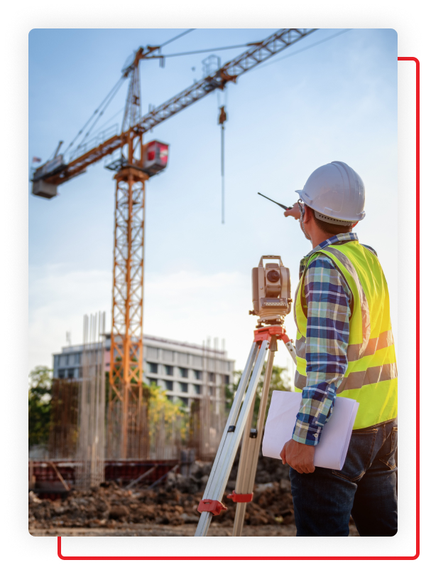
Although cutting edge technology has helped to source and analyse site data effectively, the concept of creating internal floor plans and external elevations of a property don’t necessarily require massively advanced survey equipment and the latest technology. Measured building surveys, for example, use core tools such as laser scanners and a total station to develop a clear representation of floor plans, external and internal elevations, and cross sections of a building’s layout, showing all the structural elements within scaled survey drawings.
What is a Measured Building Survey?
Also known simply as a measured survey, measured building surveys are a form of assessment that focuses on producing a scaled drawing of a specific building with a higher level of accuracy. Merging a combination of traditional techniques and cutting edge technology, results from the survey are comprised from a mix of existing plan information such as floor plans alongside details of sections and elevations on the site, resulting in a comprehensive overview of a structure.
Every part of the structure will be included in the report from the assessment including internal and external elevations, cross-sections across the building, the building’s layout, the layout of each room and the roof, ceiling plan and roof plans, all features such as doors, fixed furniture, sanitary fittings, staircases, ceiling heights and floor levels, the option of integrating data relating to adjacent properties, and descriptive text to provide detail of the building.
Sharing similarities to topographic surveys, evidence of measured building surveys are primarily utilised for architects, building contractors, developers, structural engineers and other professionals in your development to assist with planning and forming tangible plans for your project. Instead of revolving around a piece of land and resulting in a form of site plan, however, a measured survey solely analyses individual buildings.
What is a Floor Plan?
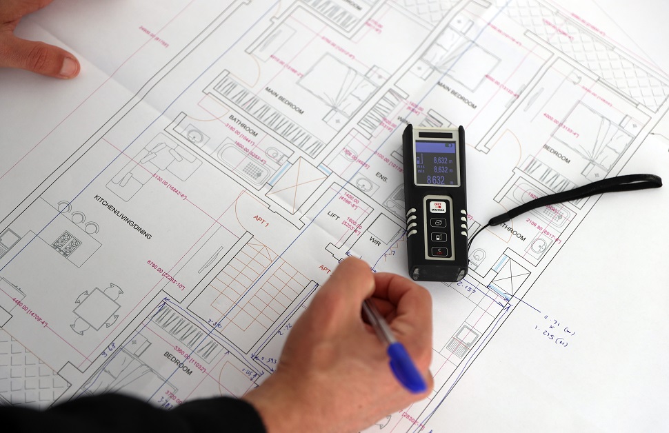
A traditional approach to accurately displaying the rooms of a property, a floor plan is positioned as a bird’s-eye view over each room and shows walls, doors, services, fittings and windows over a horizontal plane. Each section of the floor plan is split between individual rooms in a property, and measurements are labelled next to walls to demonstrate the size of the rooms, as well as a clear and accurate representation of accumulative measurements if the floor plans show the entire property in one drawing.
With this information, professionals within the planning process are given the insight they need to make effective plans, identify potential obstacles, and visualise how people would occupy and move between areas inside the building.
What is a Cross-Section Drawing?
Broader than floor plans, a cross-section drawing shows a view of the property across a specifically cut line depending on the required information. For instance, if certain areas need to be pictured, the development is set to disturb several areas across the property, or the project involves multiple rooms within the property, cross-section drawings would be needed to assist your design team.
Although a section drawing can cover any plane in a property, it is common for a typical section drawing of a building to show the levels of all floors and ceilings and any other structural or internal features of the property taken from the side of the exterior.
What is an Elevation Drawing?
Usually pictured as a view of the building or structure from the front, an elevation drawing is designed to present the elevation of the property, focusing mainly on height. With all vertical dimensions included, it shows all details in regards to walls, doors and windows, as well as any other notable features outside of the property. That said, depending on the client’s particular requirements, elevation drawings may also look at both internal and external elevations.
The different types of as-built drawings detailed above cover the three most vital areas that benefit the planning process for key stakeholders – floor plans showing the property from above, cross-section drawings showing the property from the side, and elevation drawings showing the property from the front.
Benefits of a Measured Building Survey
The primary benefit of arranging measured building surveys for a planning project that involves making alterations or enhancements to an existing property is that the higher level of detail will contribute to eliminating potentially costly mistakes. With accurate and precise information on existing buildings or structures, the actual condition of the property and all corresponding architectural features are clearly set out, simplifying the whole process of planning vital elements of the development.
Accurate site data from the property helps to map out where elements in the building are placed, including existing power supplies. A developer can then either work their project around these assets or strip them out and find a more appropriate location for them, again using the data from the survey. Collecting and storing comprehensive information about the property can also play a role in future works, including adaptations, re-equipping, rebuilds, renovations and revamps, or as part of a health and safety plan and assessment.
Measured surveys also assist renovation projects on older existing buildings or listed buildings as it can be used to determine the quantities of potentially expensive or rare materials such as floor or wall tiles. Using exact measurements, developers can opt to order the correct amount of materials, eliminating unnecessary spending. Likewise, it is possible to cut costs on a broader range of projects through working to accurate measurements and removing any likelihood of needing to make additional planning applications or revisit the project for redesigns later in the process.
Measured Building Survey Techniques
While components of an assessment on a property may be site, project or client specific, the majority of factors are universal across all surveys.
Below, we offer insight into how The Survey House undertakes measured building surveys, including an explanation into how we would typically conduct an assessment and how we ensure quality and accountability in our surveys, and lists of the equipment our surveyors use and the checklist they follow in each and every survey.
Measured Building Survey Checklist
Within a building or structure are a number of features that need to be taken into consideration and recorded as part of measured building surveys. Examples of the factors a surveyor would use during an assessment are displayed below:
Checklist for Measured Building Surveys
- Beams and columns
- Boiler location
- Ceiling heights and reflected ceiling plans
- Chimneys
- Door heights
- Electricity and gas meters
- Foul drainage and rainwater pipes
- Hazards on or near the site
- Internal and external wall thickness
- Steps
- Window sill and window head heights
Measured Building Survey Example
Over the course of a typical measured survey, a qualified and experienced surveyor will visit the site and make an extensive selection of notes in regards to all features on the building or structure before recording measurements of all areas. At this point, numerous pieces of technological equipment may be used including a GPS, a total station and laser scanning devices. Data from the assessment will be recorded through traditional surveying methods such as a paper and pencil on a clipboard, and pictures from the site will be taken using a digital camera, often with the latest technologies that enables images to upload instantly to the surveyor’s tablet or laptop computer.
An exercise in post-survey analysis will be used to look over the data. It will then be drawn up in accurate scaled drawings, using CAD (computer aided design) software either as 2D CAD images, 3D Revit models or BIM formats or IFC files (similar to the use of point cloud technology for 3D surveys) depending upon the specifications of the client, the purpose of the assessment, or the nature of the property. Volumetric data may also be incorporated into the final CAD drawings, particularly if the survey has been conducted with the purpose of applying for planning permission, as local planning authorities often require this type of data.
Once the CAD drawings have been made and the surveyor has displayed them within the measured building survey report alongside all the information about the survey, observations of the structure, and any recommendations based on their findings, the measured survey report will be passed on to the client.
Measured Building Survey Equipment
In order for measured building surveys to be undertaken correctly, the surveyor in charge of the assessment must use specialist surveying equipment alongside general items that are utterly necessary. In the section below, you will find a list of the instruments and tools usually used for carrying out a measured surveys:
What Equipment is Used in a Measured Survey?
- 3D laser scanners
- Bluetooth scanners
- A clipboard
- Digital cameras
- GPS equipment
- Ground penetrating radars
- Laser distance meters
- Laser measurers
- Measuring wheels
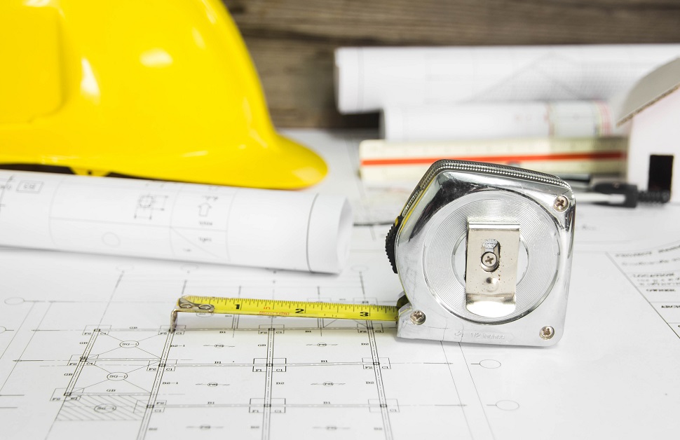
- A tape measure
- Paper
- A pencil
- Protective gear such as hand gloves, helmets and safety shoes
- A ruler
- Total stations
Measured Building Survey Specification
At the early stage of arranging a measured survey with one of our surveyors, our clients are given the opportunity to make suggestions that will alter the way we undertake an assessment. As long as a client’s own specifications aren’t capable of breaking the law, causing potential harm or leading to an ineffective assessment, we are happy to take on board these recommendations. Across all of our surveys, however, we operate within the standard specification recommended by the Royal Institution of Chartered Surveyors (RICS).
RICS Measured Building Survey Specification
Within a guidance note on measured surveys of land, building and utilities, RICS outline how assessments – including measured building surveys – should be conducted. As well as an extensive list of the types of deliverables a surveyor may provide to a client, the document details each feature on the property that will need to measured as part of the survey.
Features in Measured Building Surveys Include:
- Ceiling voids
- External features
- Fit outs
- Heights
- Internal roof spaces
- Levels
- Roofs
- Services
- Structures
It also highlights the number of considerations that need to be covered, sectioned off by areas and dimensions, elevation features, and cross-section features.
Measured Building Survey Cost
All developments involve numerous factors, and as a result, additional costs arise that developers are required to factor in to their detailed plans. In some cases, you may believe that certain surveys are unnecessary and therefore can be ignored and disregarded. However, if you are altering or enhancing an existing property, measured building surveys are utterly crucial and worth integrating with your budgeting.
How Much Does a Measured Building Survey Cost?
As with all of our surveys, the competitive prices of our measured building surveys are bespoke to each structure and project. More specifically, the cost of measured surveys is determined by the amount of time needed to complete the survey and drawing.
Assessments on small, generic buildings are likely to be cheap, and assessments on large, intricate buildings are likely to be more expensive. On average, measured building surveys would range between £500 and £1,500 per day.
Measured Building Survey Services
For consultancy services that contribute to a successful project, our measured building survey teams are formed of experienced, knowledgeable and qualified surveyors that can accurately measure all the structural elements of your property to give you and other members of your design team pivotal insights.
The Survey House has over thirty years’ experience of carrying out several core assessments to benefit land and property developments. Our surveyors are situated across England, as well as certain sections of Scotland, Wales and Northern Ireland. In covering such a wide range of the UK, we can offer measured building surveys and produce the corresponding scaled survey drawings for all clients that contact us, regardless of their location.
Quote for a Measured Building Survey
Guaranteeing a competitive measured survey cost, we pride ourselves on providing a cost effective solution to all clients. An accurate method of receiving a quote that reflects the specifications of your structure and project would be through filling out our quote form, using the number above to call us directly, or checking out our contact page for other communication options.
You can then give us detailed information about the nature of your project and the size of your building, enabling us to give you a bespoke quote for a measured building survey service. We will then work with you to find an appropriate date and time to carry out the assessment, and once it is completed, you will receive your survey drawings and a report within a few short days.
Book a Measured Building Survey
If you would like to arrange a measured building survey service with us or one of our other land or building surveys, get in touch with our experienced team today and we can talk to you about booking a measured building assessment and planning a suitable time to analyse the architectural features of your site before taking measurements of your property to develop insightful CAD drawings.
Measured building surveys share similarities with topographical surveys or utility mapping surveys, except instead of analysing an area of land, external floor plans and internal floor plans, elevations and cross-sections presented within as-built drawings are utilised traditional surveying methods of assessing an individual building, structure or property.
A benefit to The Survey House is that we are experts on both forms of assessment, as well as other survey services using the latest technology. With this in mind, if you aren’t fully aware of your needs and require advice with choosing the suitable survey for your structure and project, speak to our team and we can talk you through your options.
Measured Building Surveys Done
in 3 Simple Steps
We know that you want your Measured Building Surveys done quickly and efficiently to avoid delays and to help your project run smoothly. Our simple process makes everything hassle free and straight forward.
Give us a call or fill in our quick onlne quote form to tell us about the project you need a survey for.
We will put a quote together based on the information you give us and we’ll get in touch via phone or email if we need any more information.
You'll get your free, no-obligation quote via email. If you are happy with the quote, simply let us know and we will book in a conveinient date to do your survey. Finally, we’ll send your report a few days after the survey.


